
24 Apr Sequatchie Cave 2017
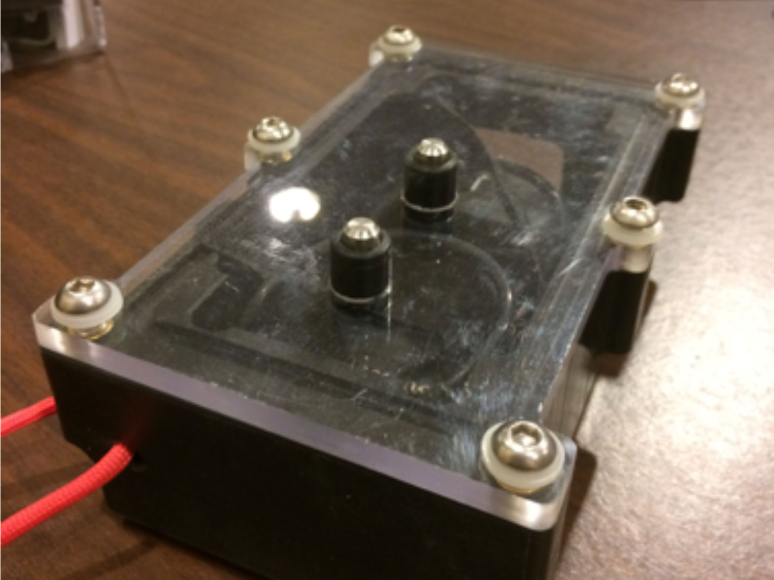
DistoX 2 Prototype
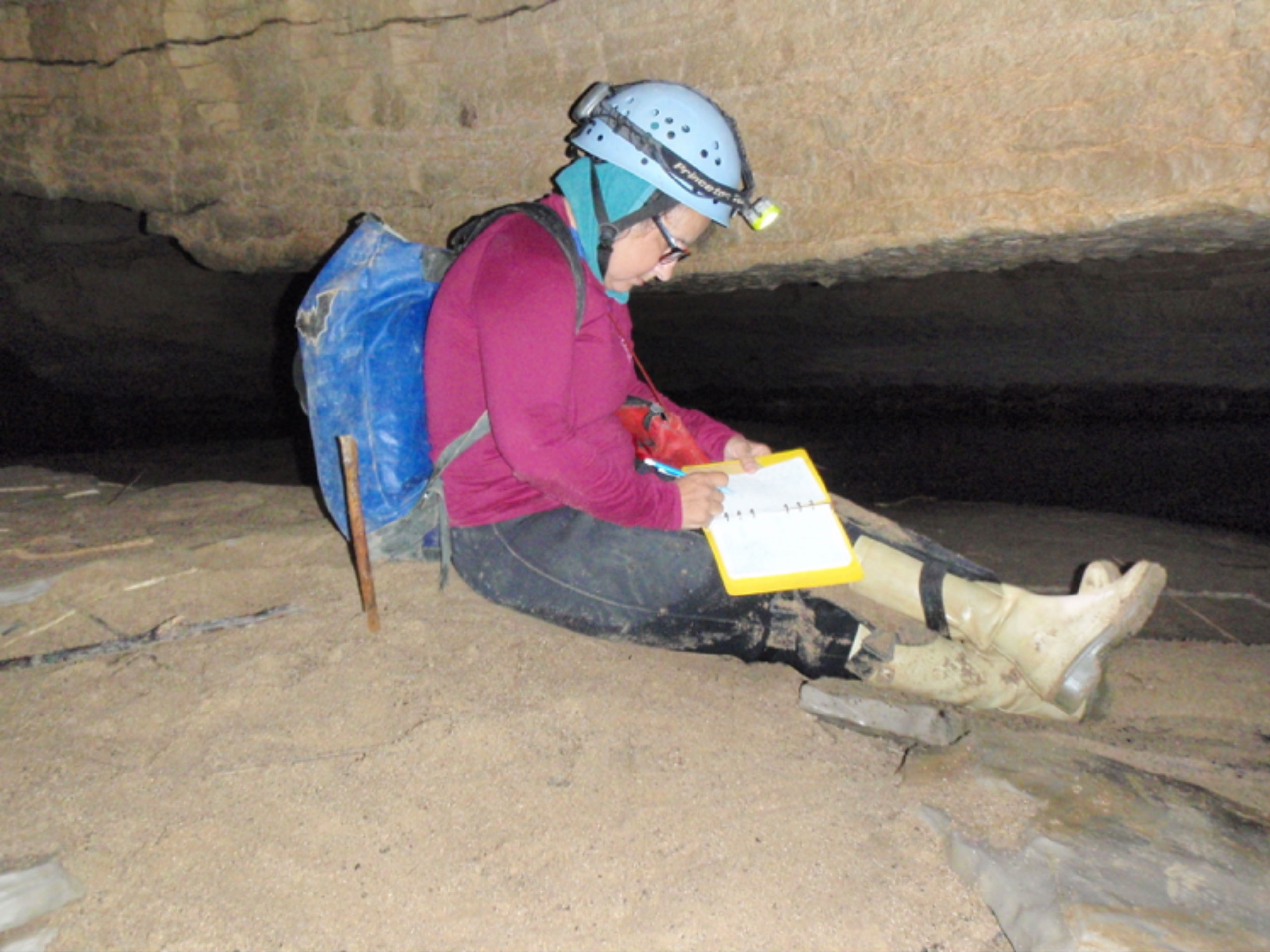
The remapping of Sequatchie Cave in Sequatchie, TN continues. Sequatchie Cave, (i.e. Owen, or Blowing Cave), was originally mapped in 1978 by members of the Chattanooga Grotto, which included Gerald Moni on the team. The cave reached out, at that time to 6625 feet, with lighting being substantially less than it is today. My hat always goes off to the cavers who have paved our ways, in low light! Our efforts to re map the cave, now protected by TWRA finds Pat Kambesis on book, while I head up coordination of the project, survey and diving. Our work there has included die trace interpretation, surveying, map production, and creative inner tubing.
We have found one sump in the first 2500’ of survey, which was not part the first mapping of the cave; we have not penetrated the sump with dive gear as of yet. Our survey tool of choice, due to this being a river cave is, the DistoX 2 in a prototype underwater/dive housing (picture below). The survey work has moved rapidly using this tool, without the fear of water damage to the instrument. Typical of most river caves, sitting still during the tedious process of mapping limits the amount of time we can spend at our work. Pat Kambesis on station, doing what knows.


